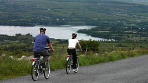
The Beara Way Cycling Route in County Cork generally uses country roads and stays close to the coastline. It travels along the entire Beara Peninsula passing through towns and villages along the way. There is no start or finish so cyclists can join the route in any town or village on the peninsula.
The route is sign-posted with a logo and a bicycle symbol. :-
(1) - Glengarriff to Adrigole: 21 km (13 miles)
2km main road, 19km other roads.
Elevation range 20m – 140m.
OSI Discovery Series Maps Sheets 84,85.
(2) - Adrigole to Castletownbere: 16km (10 miles)
16km other roads.
Elevation range sea level – 100m
OSI Discovery Series Maps Sheet 84.
(3) - Bere Island: 14km (9miles)
14km other roads.
Elevation range sea level - 250m.
OSI Discovery Series Maps Sheets 84 or 88.
(4) - Castletownbere to Dursey Sound and Allihies: 43km (27miles)
43km other roads.
Elevation range sea level - 150m.
OSI Discovery Series Maps Sheet 84.
(5) - Allihies to Ardgroom 15km (9 miles)
6km main road, 9km other roads.
Elevation range 50m-100m.
OSI Discovery Series Maps Sheet 84.
(6) - Ardgroom to Dawros Cross 17km (11 miles)
17km other roads.
Elevation range sea level - 50m.
OSI Discovery Series Maps Sheets 84, 85.
