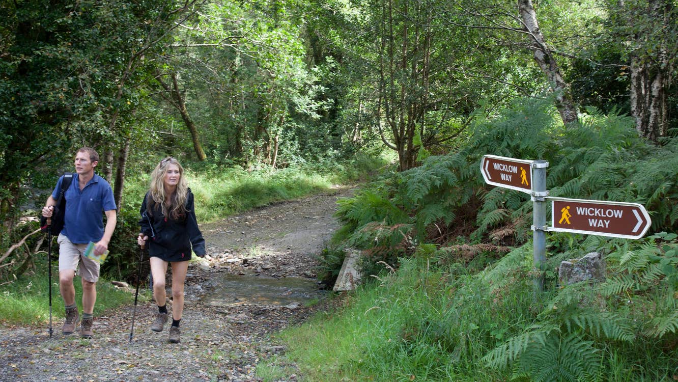
Beginning in the southern suburbs of the capital, civilisation is soon left behind as the route moves deep into high, heathery moorland. Taking six days to complete, the Wicklow Way walk ascends some 3,320m over its 129km.
Strenuous in grade, the linear Wicklow Way traverses forestry tracks, quiet roads, boreens and mountain paths through open moorland. Some sections can be wet and muddy.
The trail crosses the rugged Dublin and Wicklow Mountain range before descending across a series of gentle foothills to reach the County Carlow village of Clonegal.
A hugely rewarding route, the northern end showcases the more dramatic instances of mountain and lakeside scenery. While walkers will certainly feel as though they are in the remotest of wildernesses, a public road is never very far away.
While some overnight accommodation is available along the route, most options are actually off-route, so careful advance planning is necessary.
Minor route diversions, primarily due to timber harvesting, may be in place.
- The trail boasts exceptional views over the placid lake and ancient monastic site of Glendalough, definitely a spot to linger at, as well as stunning Powerscourt Waterfall and Lough Tay.
- The Wicklow Way’s southern end leads walkers on gentler climbs and along forestry roads through a lush landscape of conifer-covered foothills.
